Looking for something?
CloseSince 2012 Feedback
Powered by the Centre for Invasive Species Solutions
Powered by the Centre for Invasive Species Solutions
Navigate our sites
Back-

-

-

-

-
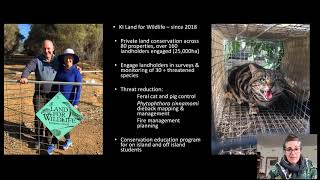
View our best practice community engagement information hub ‘Community Invasives Action‘ to enhance community involvement in your invasive species management programs
Powered by the Centre for Invasive Species Solutions
Navigate our sites
Back-
-
-
-
-
View our best practice community engagement information hub ‘Community Invasives Action‘ to enhance community involvement in your invasive species management programs
Powered by the Centre for Invasive Species Solutions


 Ongoing unravelling of a continental fauna: Decline and extinction of Australian mammals since European settlement. Biological Sciences 112 (15) 4531-4540 and Commonwealth of Australia (2015). Threat abatement plan for predation by feral cats. Department of the Environment. Canberra, Australia. 2. Legge, S. et al. (2017). Enumerating a continental-scale threat: How many feral cats are in Australia? Biological Conservation, Vol. 206, pp.293-303 3 & 5. Legge, S. et al. (2020) The toll of cat-dependent diseases on Australian agriculture. Science for Saving Species Research findings factsheet. Threatened Species Recovery Hub. 4. Woinarski, J. C. Z et al. (2019) Reading the black book: The number, timing, distribution and causes of listed extinctions in Australia, Biological Conservation 239 (2019) 108261.")